free
Formats: dwg, png (4096 × 3072), eps, pdf
Category: Maps
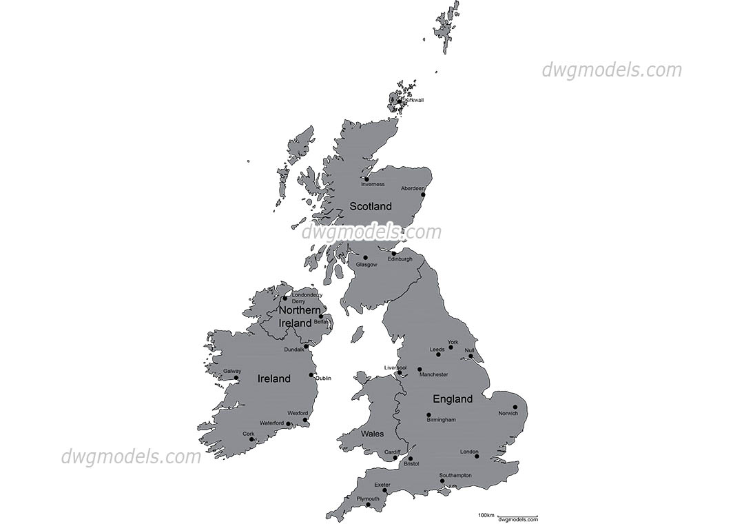
We continue to replenish our section of AutoCAD maps and on this page, we want to present you a map on which different parts of the UK - Wales, Scotland, Northern Ireland and the Republic of Ireland. Also the largest cities are represented on this map.
If you are looking for vector maps of another country, use the site search or go to the "Maps" section. All DWG maps on our sites are drawn by our designers from scratch in the AutoCAD program and have high resolution!
